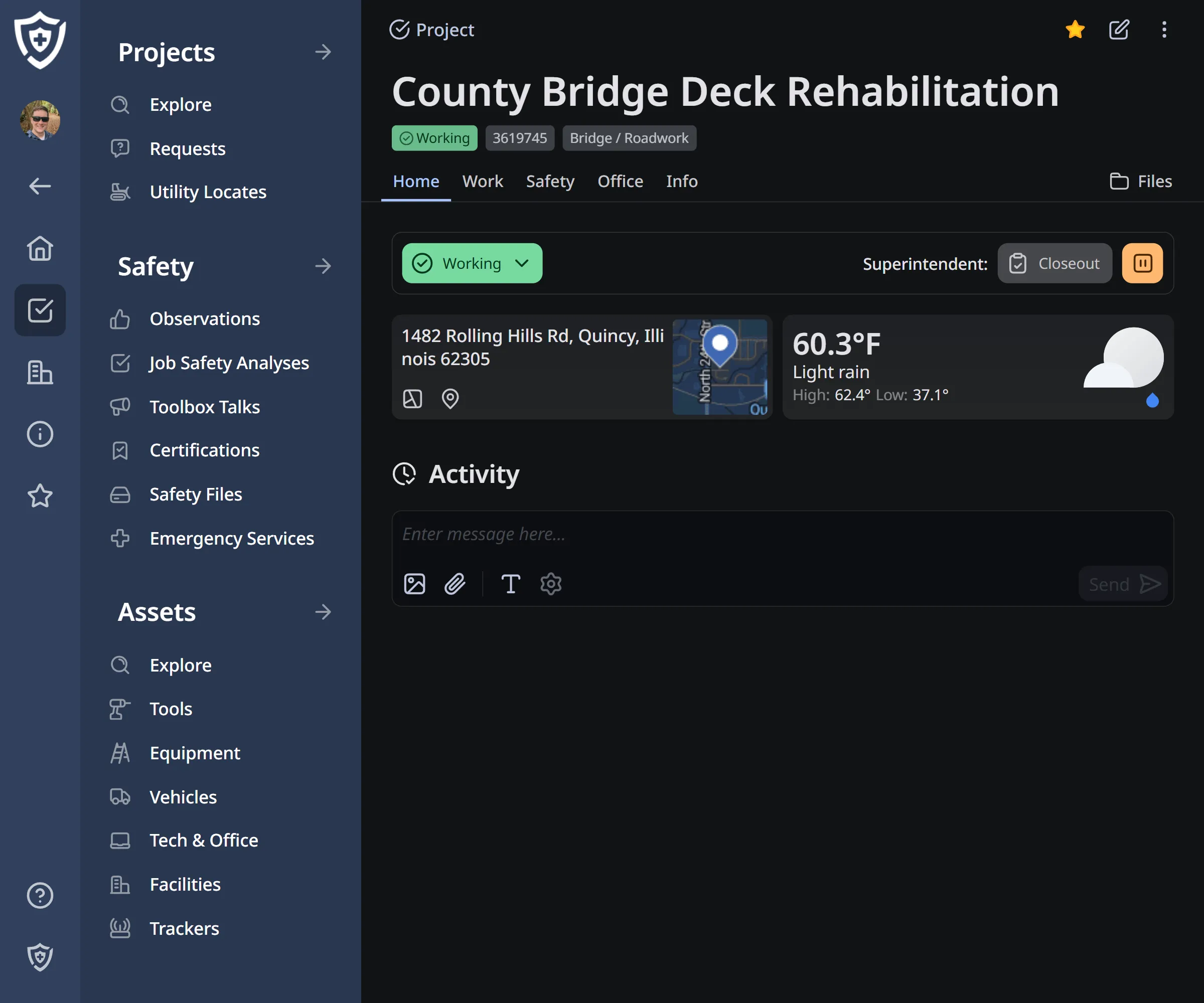
Mapping That Turns Location Into Context
Mapping transforms geographic data into clear visual insight so teams can make informed, location-aware decisions.

Mapping transforms geographic data into clear visual insight so teams can make informed, location-aware decisions.
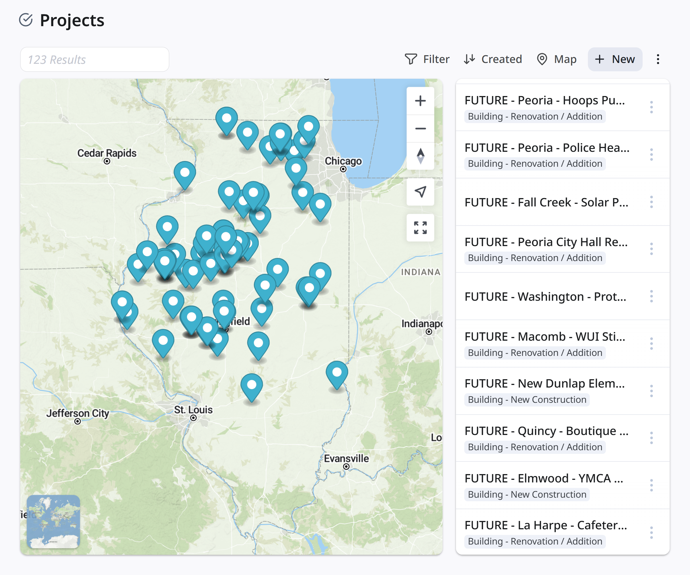
View unified and distributed maps
View projects, assets, people, and activity as a group or together on a single unified map.
NewView weather forecasts, including radar, precipitation, temperature, and wind conditions.
Detailed terrain and environments
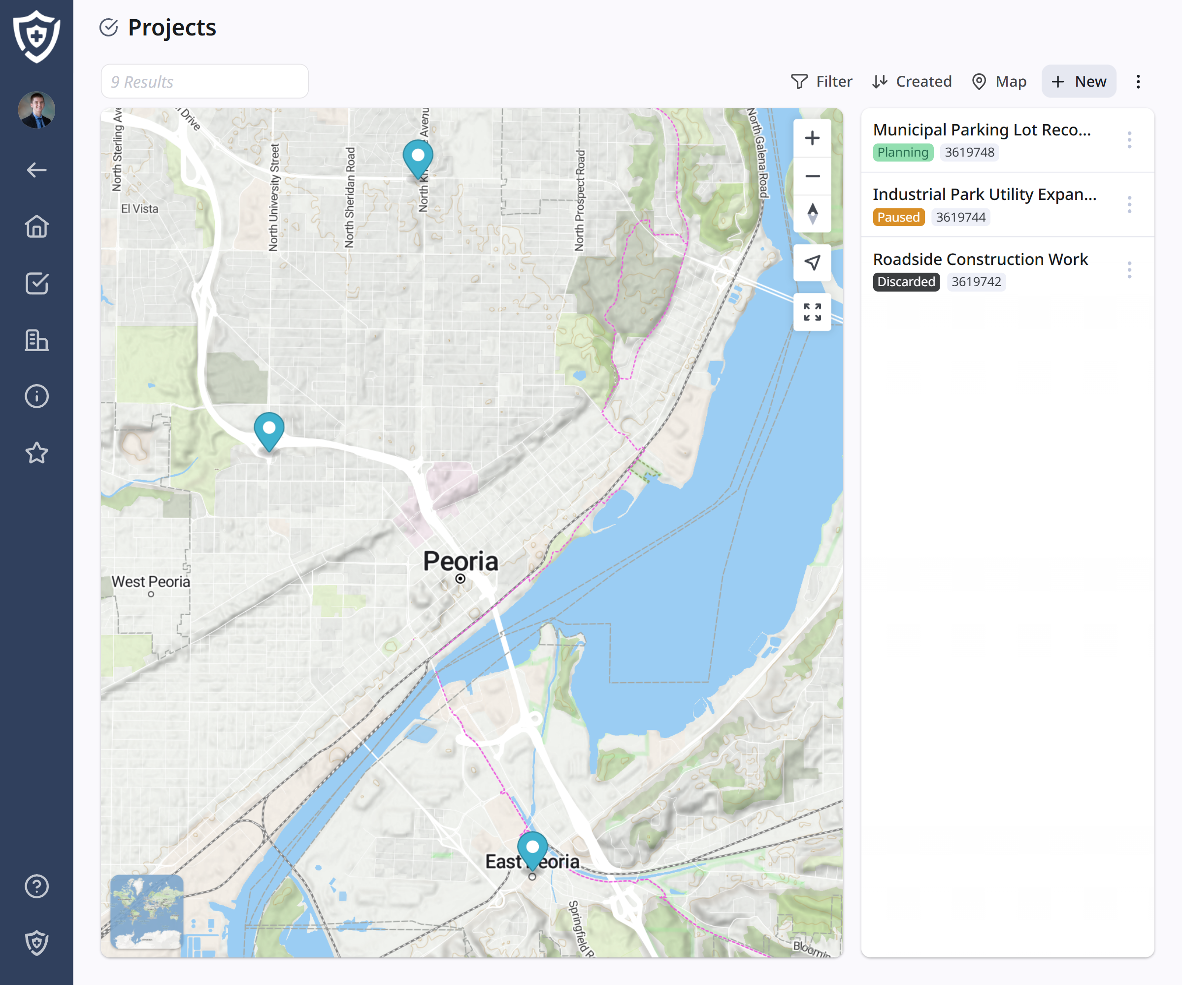
Topographic layers provide terrain and surrounding detail to help teams understand sites and geographic constraints.
What's nearby?
Location-aware views surface nearby assets, people, or sites relative to the user's position.
NewSpecific docs, such as union jurisdictions, wage addendums, and emergency services can be surfaced relative to another location (e.g., a worksite).
Clarity at every scale
Map data adjusts automatically as users zoom in or out, keeping views readable and relevant whether scanning a region or focusing on a specific site.
Virtual boundaries can be defined alongside telematic devices.
Perform basic measurements for distance, area, and other metrics.
Import and visualize GeoJSON for custom geographic data layers.
Get started with a complementary Action Plan outlined by industry experts.